

Haley’s Run Restoration
April 21, 2026 4:15 pmAkron, Ohio Lockheed Martin Corporation Key Services Provided: Subgrade modification...
Bartley Preserve Wetland and Prairie Landscape Restoration
April 21, 2026 4:09 pmCircleville, Ohio Appalachia Ohio Alliance Key Services Provided: Hydrology Study...
Lake Erie Islands Erosion Control and Coastal Erosion—Scheeff East Point Nature Preserve
April 21, 2026 4:04 pmSouth Bass Island, Ohio Put-in-Bay Township Park District Key Services...
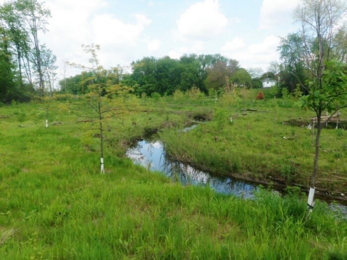
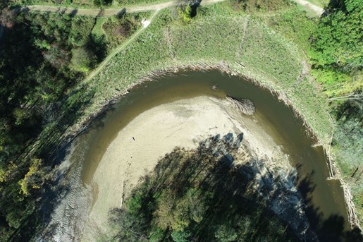
Adams Run Stream and Wetland Mitigation
April 21, 2026 3:55 pmLittle Cuyahoga Watershed, Akron, Ohio City of Cuyahoga Heights Key...
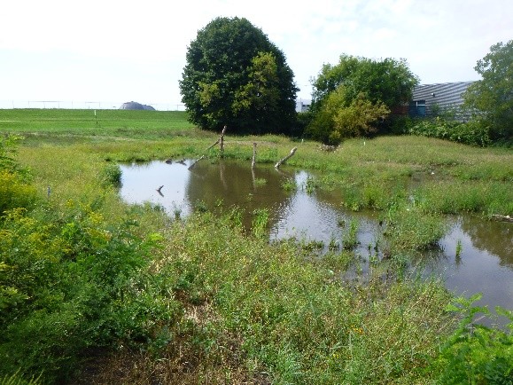
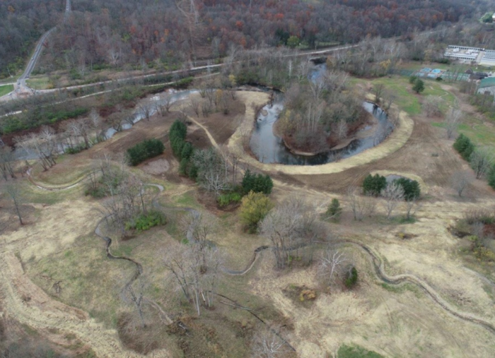
Wilderness Center Wetland Pond Edge Restoration
April 21, 2026 3:49 pmWilmot, Stark County, Ohio The Wilderness Center Key Services Provided:...
Chagrin River Restoration at Jackson Field, South Chagrin Reservation
April 21, 2026 3:39 pmChagrin River Cleveland Metroparks Key Services Provided: Design-build Stream Restoration...
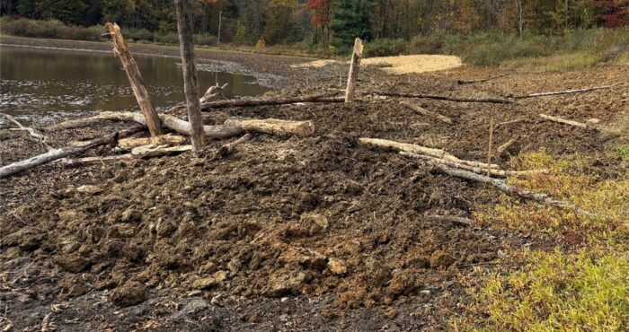
Bathymetric Survey and Volumetric Assessment
April 21, 2026 3:34 pmNorwalk, Ohio City of Norwalk Key Services Provided: Bathymetry Survey...
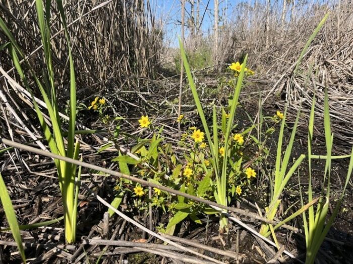
Jefferson Swamp Invasive Vegetation Management
April 21, 2026 3:32 pmJefferson, OH Western Reserve Land Conservancy Key Services Provided: UTV...
Riverwood Stream and Wetland Restoration
April 20, 2026 11:13 pmSummit County, OH West Creek Conservancy Key Services Provided: Design-build...

BIG SANDY CRAYFISH SURVEY FOR PROPOSED BRIDGE REPLACEMENT
April 14, 2022 7:29 pm(McDowell County, WV) In an effort to allow safe travel over...