EnviroScience Adds Drone Capabilities
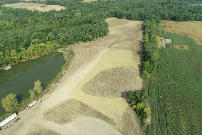
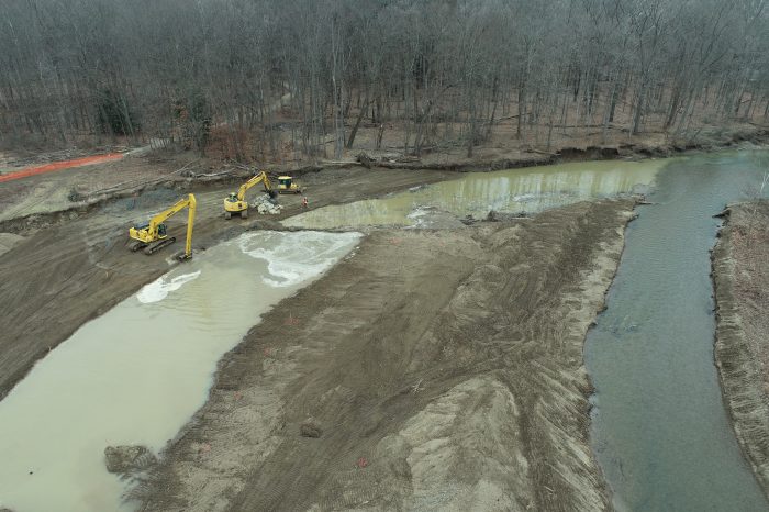
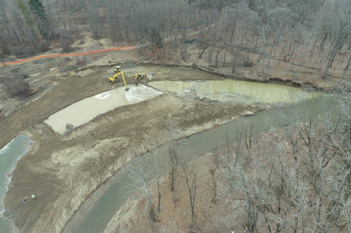
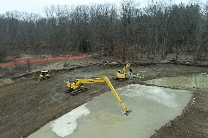
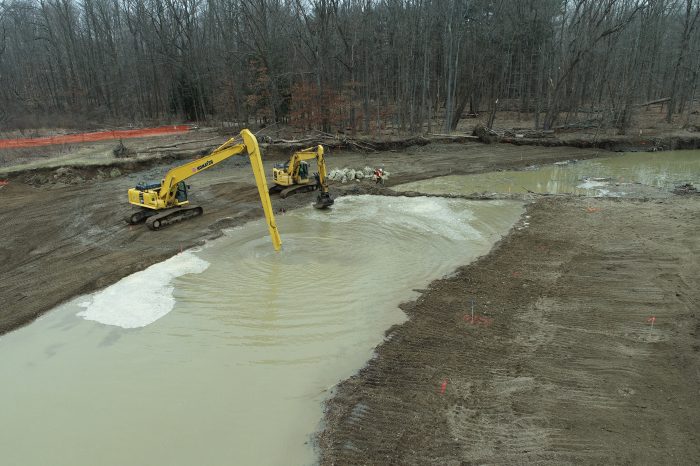
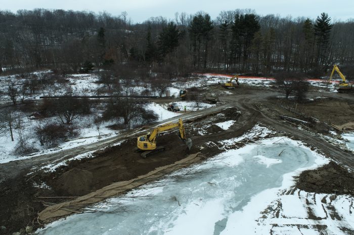
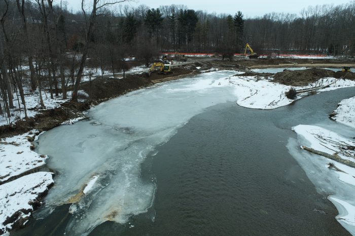
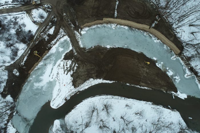
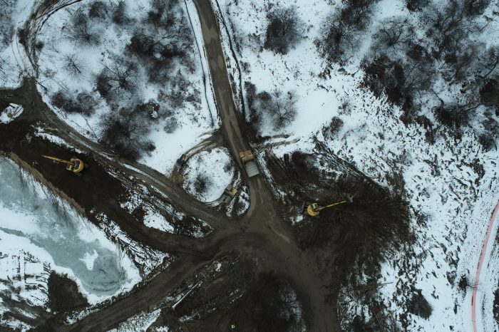
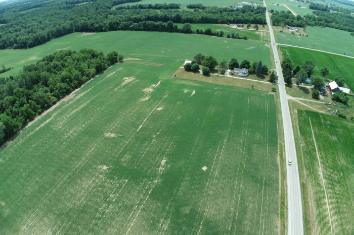
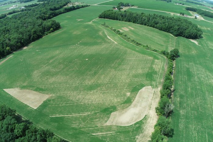
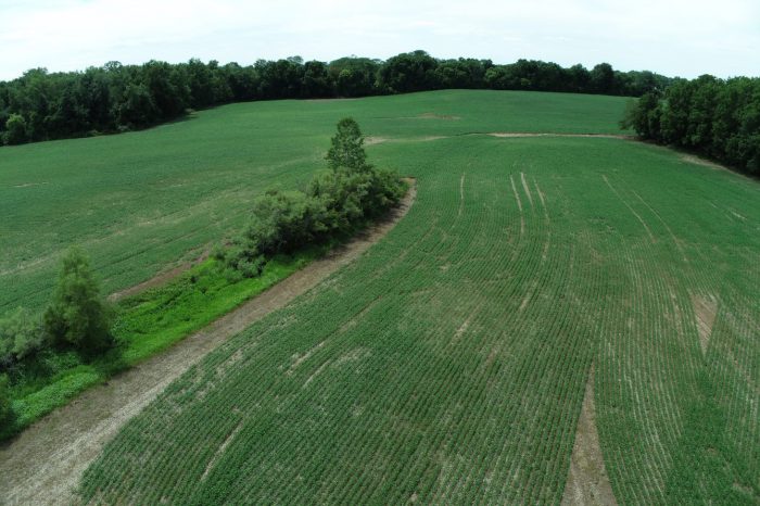
EnviroScience uses small Unmanned Aircraft Systems (sUAS), also known as drones, to monitor, survey, and map site conditions before, during, and after construction. EnviroScience has multiple FAA-licensed sUAS pilots experienced in aerial photography and surveying techniques. High-resolution imagery and survey-grade elevation and horizontal positioning are used to survey site conditions using photogrammetry technology. We also use them for aerial photography and video monitoring.
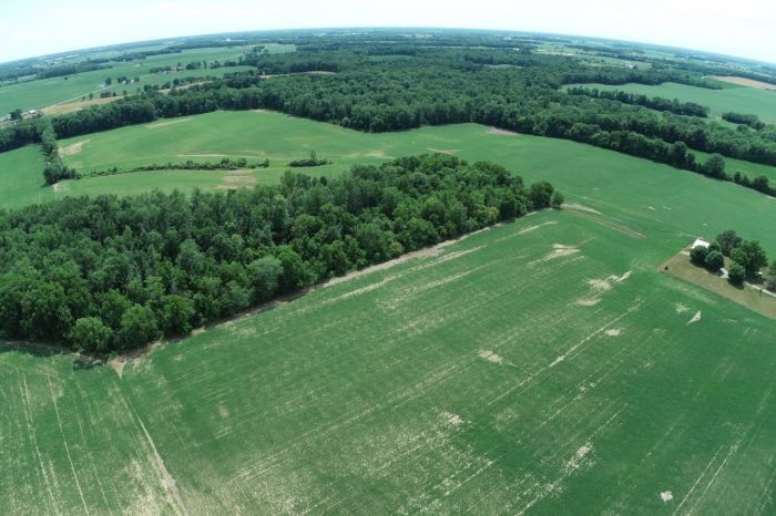
(Drone image by Jeff Niehaus)
With this technology, EnviroScience can also provide output files such as point clouds, orthomosaics, 3D mesh renderings, digital surface models (DSM), digital terrain models (DTM), and custom contour linework to merge seamlessly with traditionally obtained survey data and design and drafting software. These deliverables allow our clients to monitor their site conditions from the existing to post-construction monitoring stages and easily compare them. In addition, they can compare their current site conditions with historical aerial imagery on Google Earth using a KML output file. Our GNSS-enabled sUAS is coupled with an RTK base station for survey-grade positioning accuracy and operates in a fraction of the time of traditional survey methods.
-
(Drone image by Jeff Niehaus) -
(Drone image by Jeff Niehaus) -
(Drone image by Jeff Niehaus) -
(Drone image by Jeff Niehaus) -
(Drone image by Jeff Niehaus) -
(Drone image by Jeff Niehaus) -
(Drone image by Jeff Niehaus) -
(Drone image by Jeff Niehaus) -
(Drone image by Jeff Niehaus) -
(Drone image by Jeff Niehaus) -
(Drone image by Jeff Niehaus) -
(Drone image by Jeff Niehaus)